
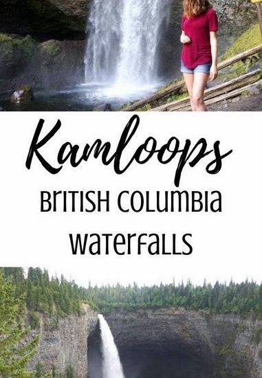
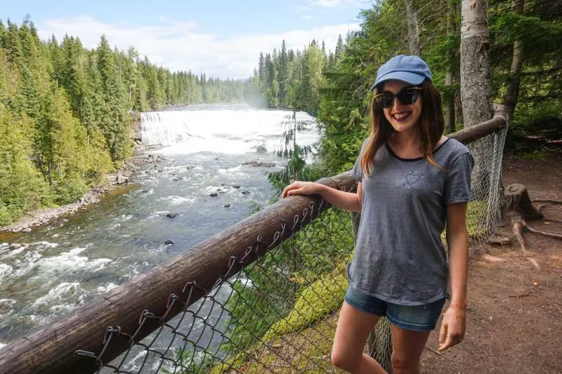
Earlier this month, I shared five waterfalls near Revelstoke, British Columbia, and today we are back with even more incredible waterfalls in Interior B.C.! This time, I am sharing seven waterfalls to discover near Kamloops, B.C. The majority of the waterfalls in this post are in Wells Gray Provincial Park, which is about an hour and a half north of Kamloops.
I’ve also embedded a map at the end of this post showing you exactly where each of the waterfalls are, so you can easily find them on your next adventure. Keep reading for my Kamloops, British Columbia waterfall guide!
Save this Post to Pinterest!

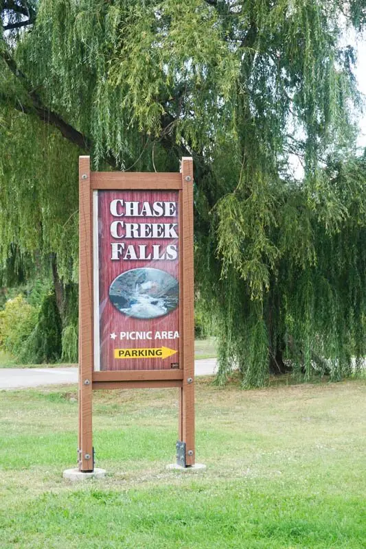
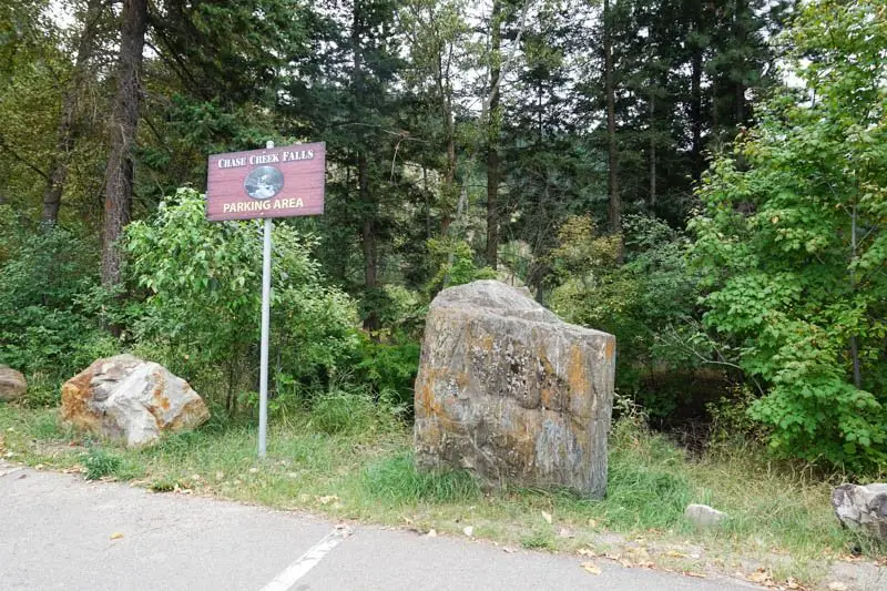
Chase Creek Falls
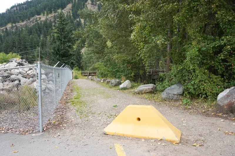
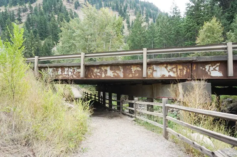
This is the only waterfall in this post that is not in Wells Gray Provincial Park, and it is the closest one to Kamloops. As the name would suggest, Chase Creek Falls is in the Village of Chase, east of Kamloops. The walk to the waterfall is very easy and takes less than five minutes.
From the parking lot, the trail takes you underneath the highway to the other side of the highway. A short walk along the creek leads to the waterfall.
From Kamloops: 40 minutes
- Drive east on Highway 1 East/97 South toward Chase. Turn left on Coburn Street. Turn right on Paquette Road. The start of the trail is at the end of this road.
**Typing Chase Creek Falls into Google Maps does not lead you to the proper place, so be sure to follow the above directions, or see the map at the end of this post.**
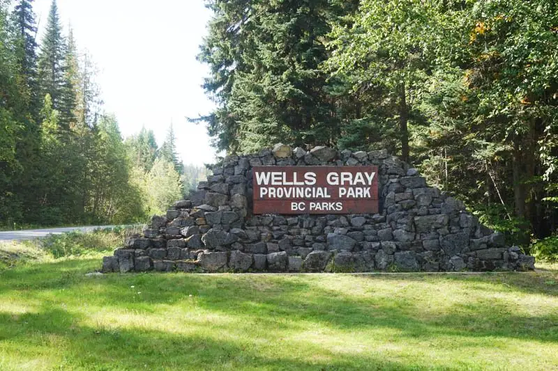
Wells Gray Provincial Park
The following six waterfalls are all in Wells Gray Provincial Park.
From Kamloops: 1.5 hours
- Drive north on BC-5 North for 120 kilometres. Once you get to Clearwater, you will reach a roundabout. At the roundabout, take the third exit to enter the park.
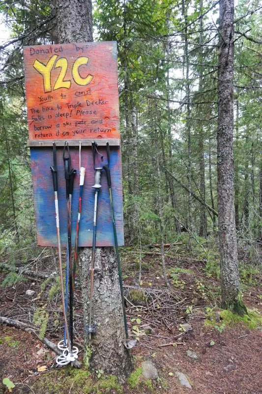
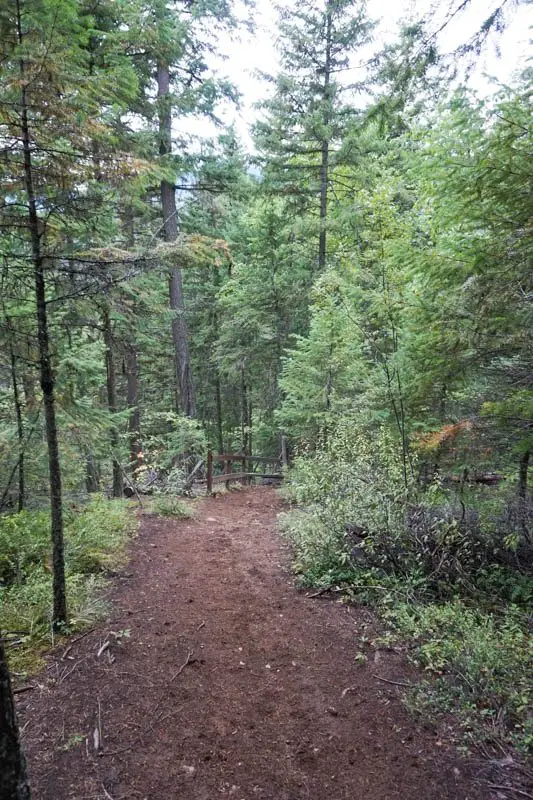
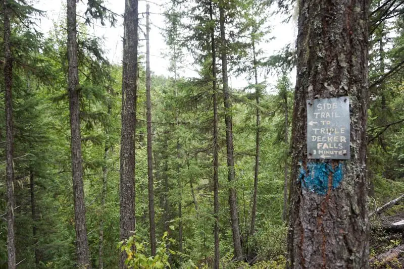
Triple Decker Falls
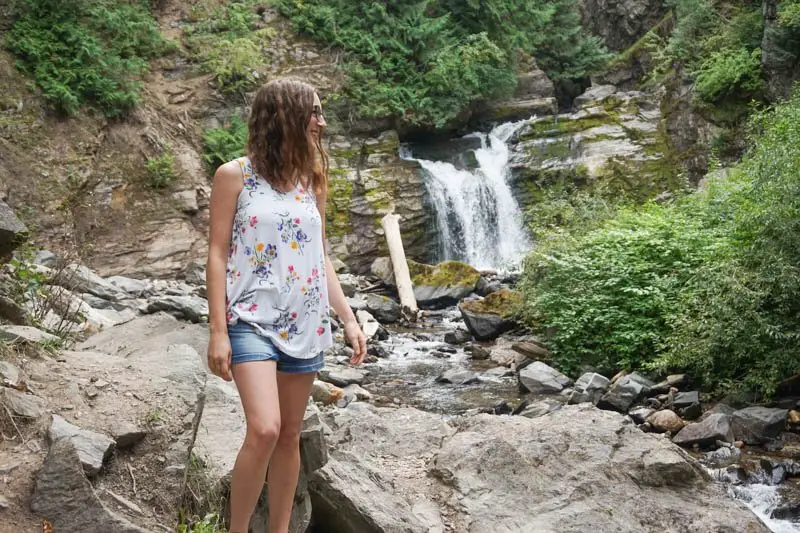
Triple Decker Falls is unique because it is a three-tiered waterfall. It’s a bit difficult to tell in the photos, but it’s so cool in real life!
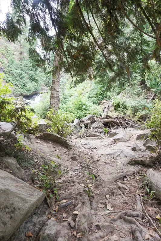
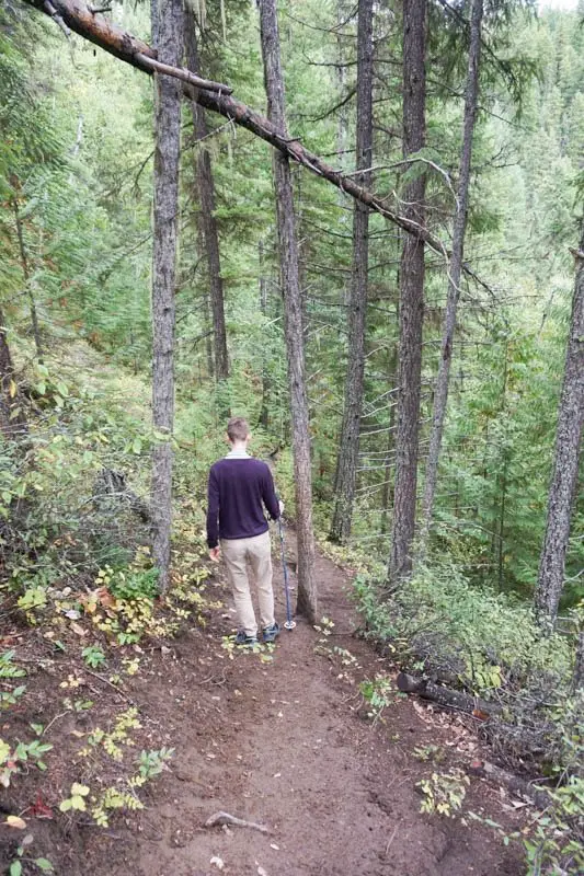
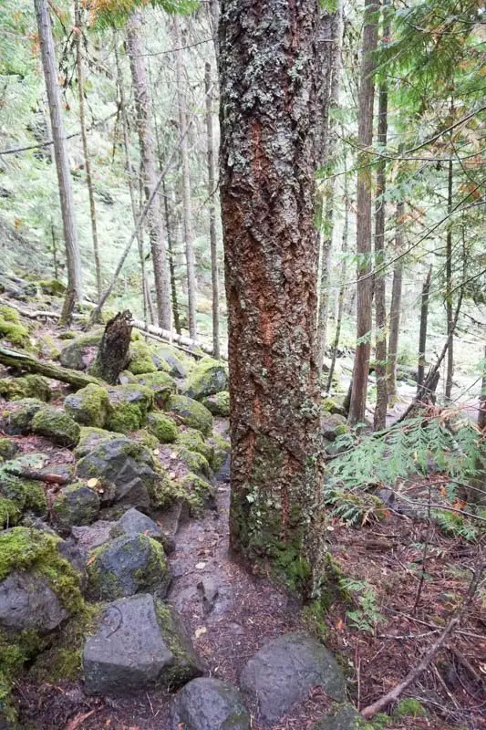
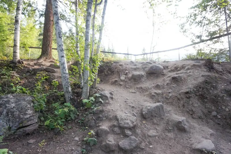
The walk to Triple Decker Falls is short, but very steep. Near the beginning of the trail is a bunch of ski poles to use on the trail, donated by Youth to Christ. I highly recommend taking one if you don’t have your own walking stick. They definitely came in handy!
Less than 10 minutes down the trail is a sign on a tree pointing to a trail to the falls to the left. This is when the trail gets steep. It only takes about five minutes to get down to the waterfall.
From Clearwater: 5 minutes
- Take the third exit out of the roundabout onto Clearwater Valley Road.
- Drive 4.2 kilometres up Clearwater Valley Road. Just past Greer Road, there will be a concrete barrier on the left side of the road. There is a small parking area just past the barrier, seen in the first photo below.

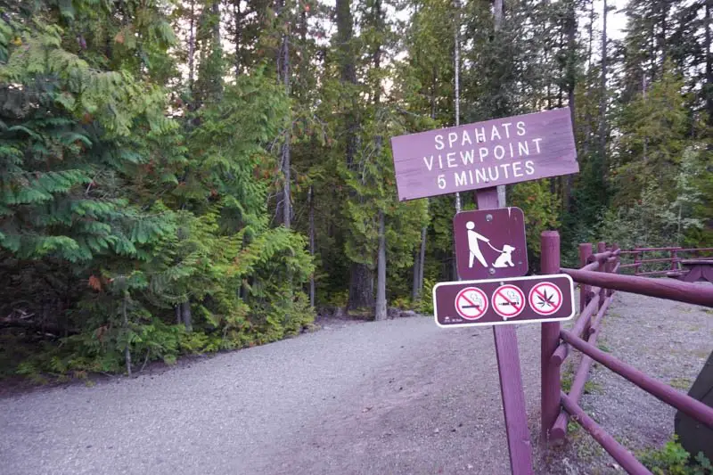
Spahats Creek Falls
Spahats Falls is one of the easiest to get to on this list. It is only a five-minute walk along a wide, flat trail, ending at a viewing platform.
From Clearwater: 11 minutes
- Take the third exit out of the roundabout onto Clearwater Valley Road.
- Drive 10.2 kilometres up the road and you will see a sign for Spahats Creek Falls.
- Turn left, then left again. You will end up in a large parking lot.
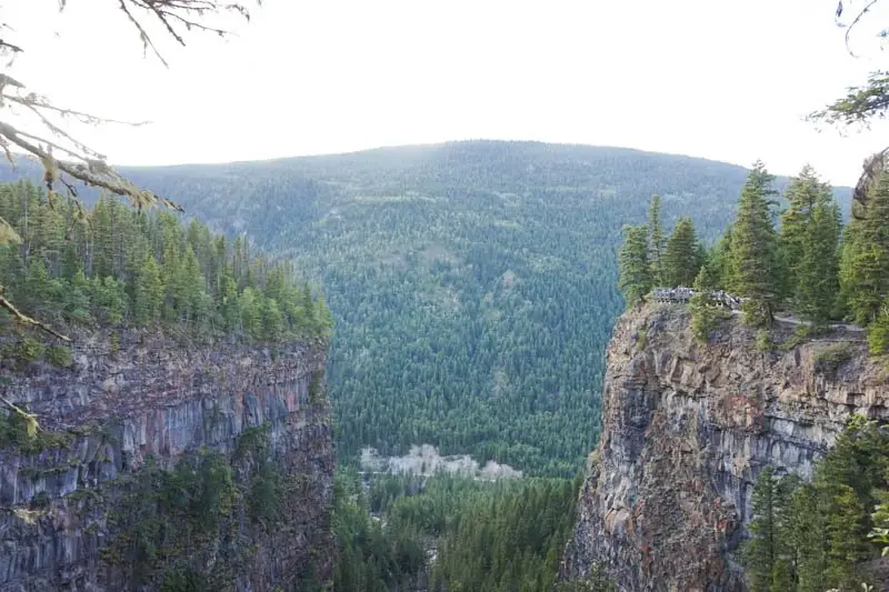
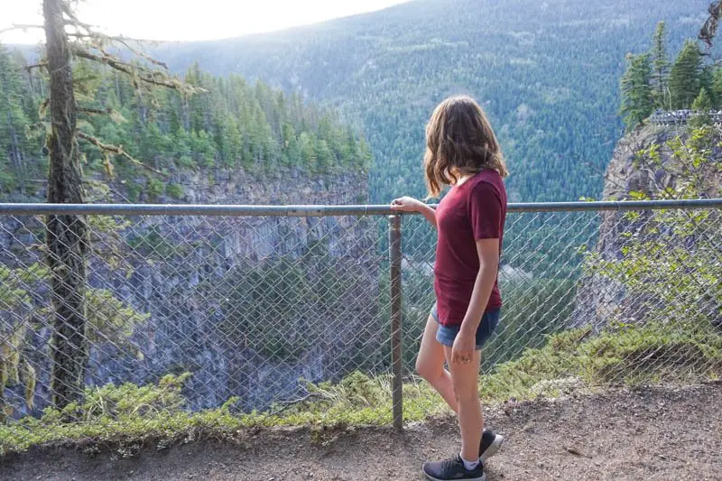

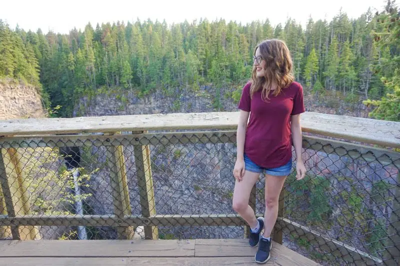
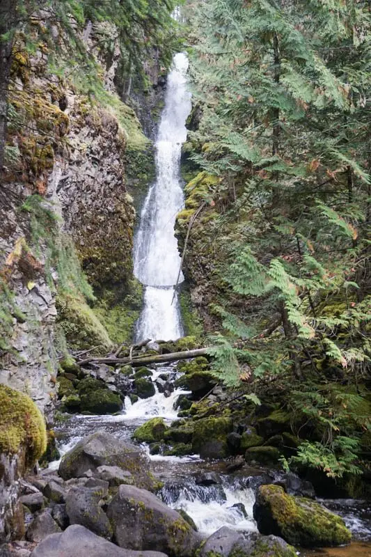
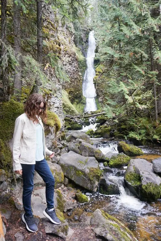
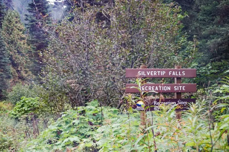
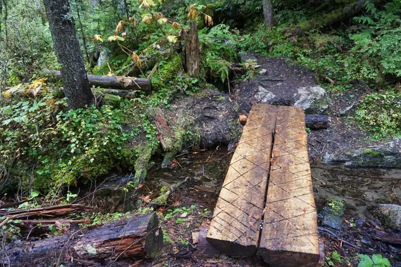
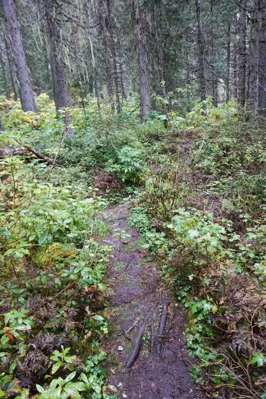
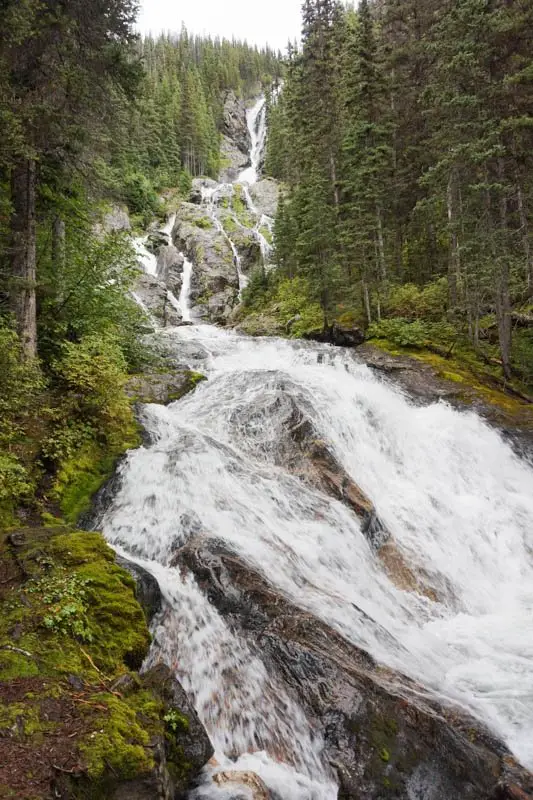
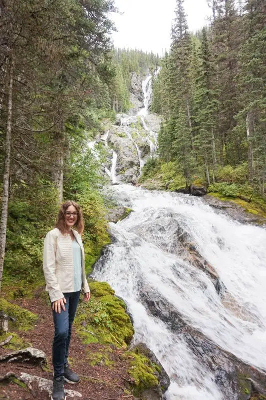
Silvertip Falls
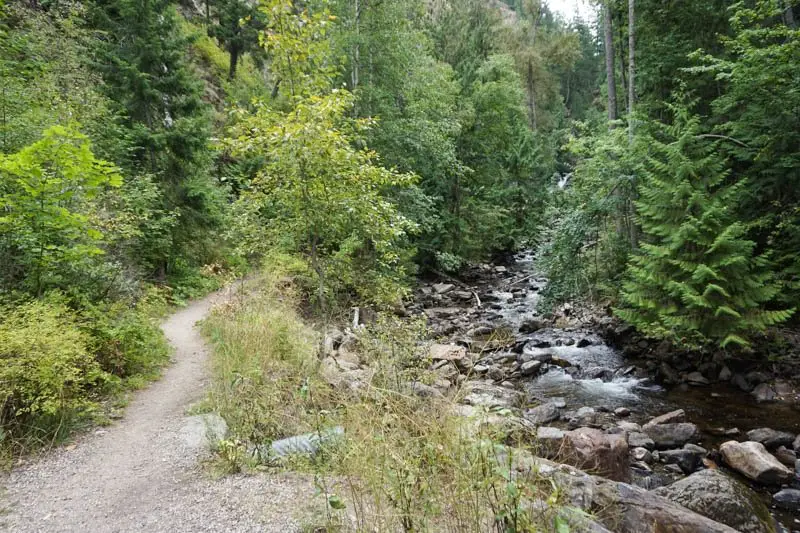
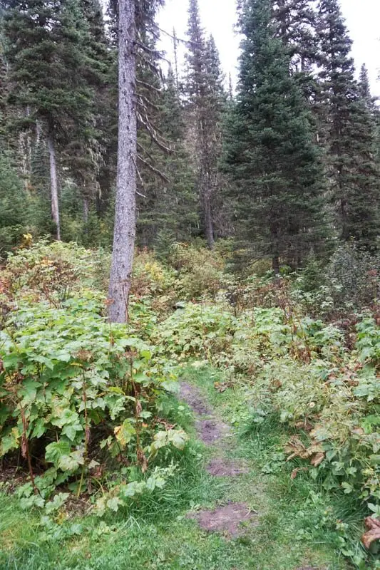
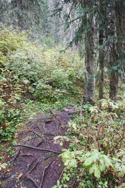
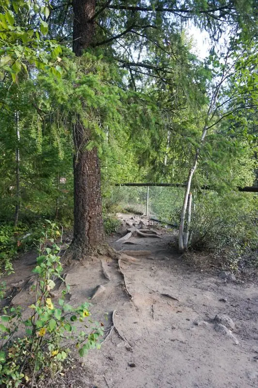
Silvertip Falls is a little more out of the way than most of the other waterfalls on this list, but it is so worth it! It is about a 25-minute walk to the falls. The trail is very muddy and rocky the whole way, and there are a few steep spots.
From Clearwater: 22 minutes
- Take the third exit out of the roundabout onto Clearwater Valley Road.
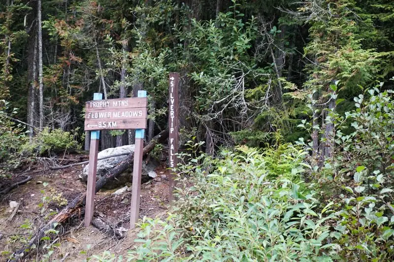
- Drive 11.3 kilometres up Clearwater Valley Road, then turn right on Spahats Creek Forest Service Road. (there is a sign to Trophy Mountain Meadows)
- Drive up this dirt road for 4.2 kilometres.
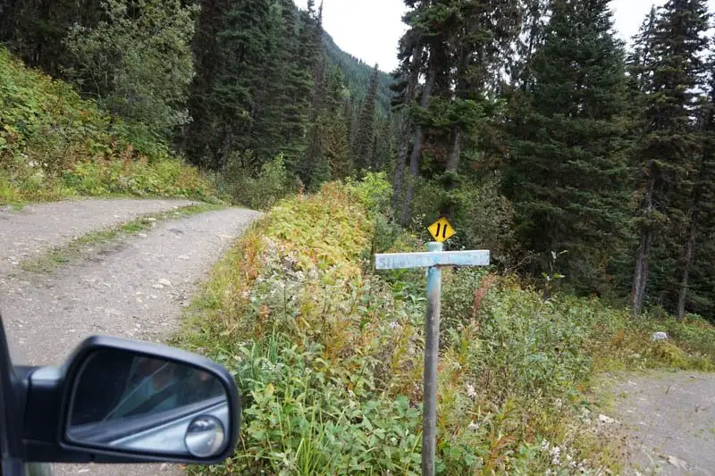
- At the fork, turn right, following the sign to Silvertip Falls (see first photo below).
- Drive 2.5 kilometres and turn left just before the bridge. There is a small faded Silvertip Falls sign at the turn (see second photo below).
- Drive another 300 metres to the end of the road and park here.
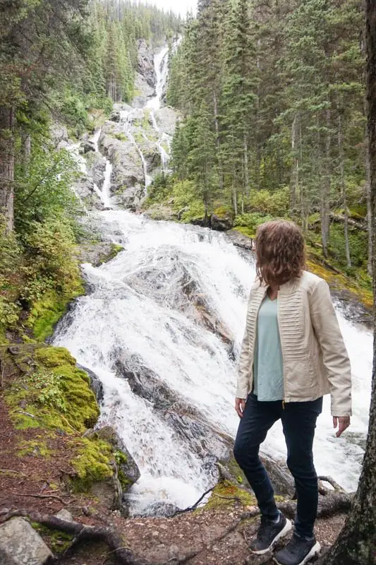
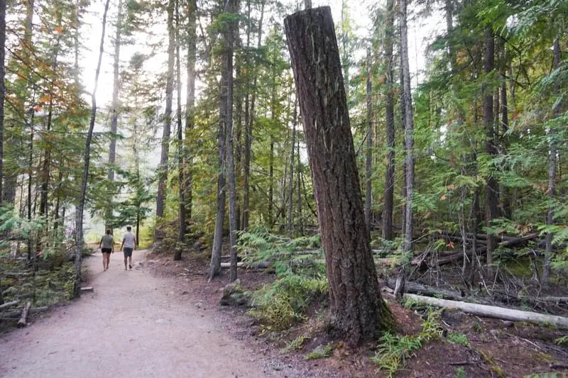
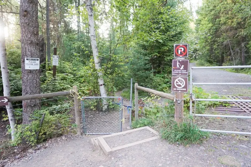
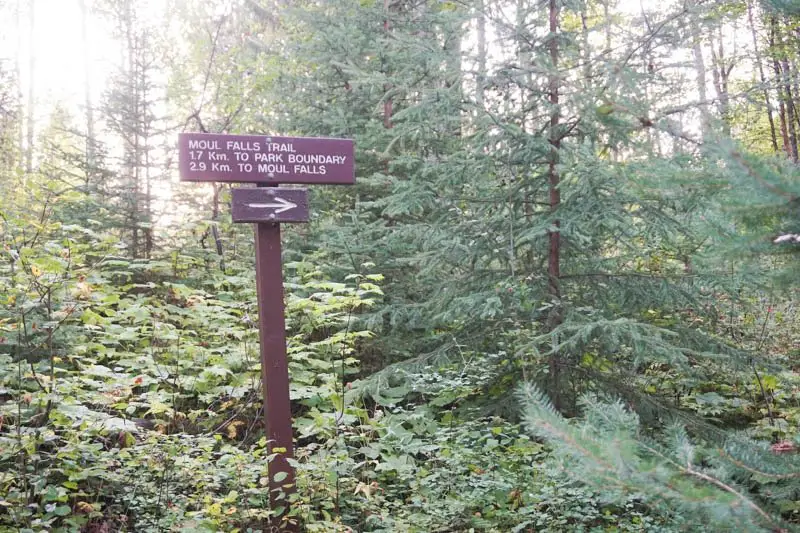
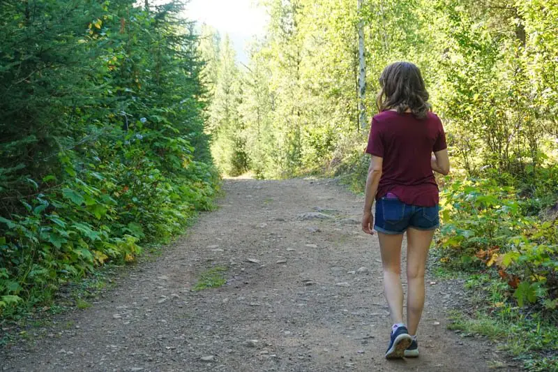
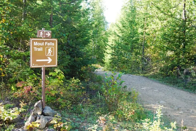
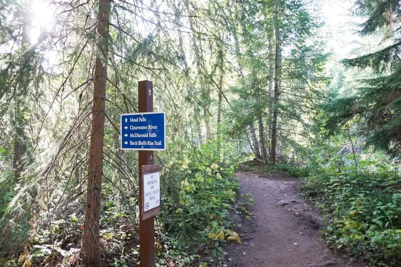
Moul Falls
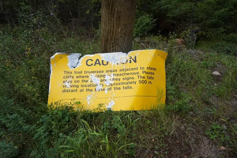
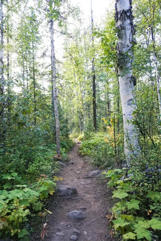
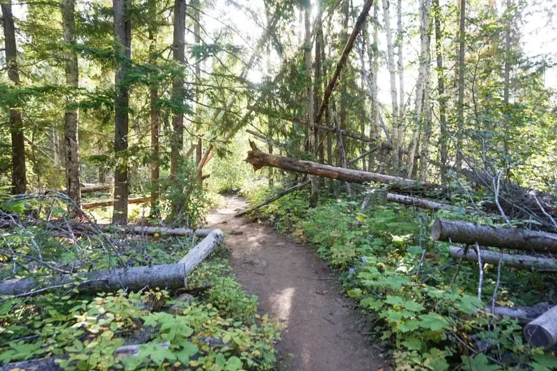
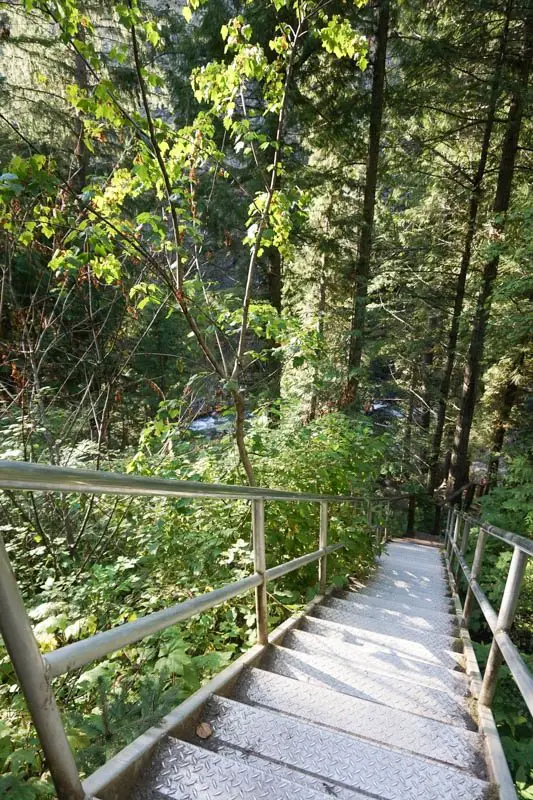
Moul Falls is one of the most incredible waterfalls. The coolest part is you can actually go behind the falls! It is a 40-minute walk to the waterfall. A lot of the trail is wide and flat, but it does get narrower and rocky. To get down to Moul Falls, there is a staircase at the end.
To the right of the falls, there is a yellow sign, warning about the end of the trail. Next to the sign is a very narrow trail. This is the path that goes behind the falls. It is muddy and slippery, and you will get wet!
From Clearwater: 20 minutes
- Take the third exit out of the roundabout onto Clearwater Valley Road.
- Drive 20.6 kilometres up Clearwater Valley Road, and you will see a turnoff on the left side of the road, leading to a small parking lot.
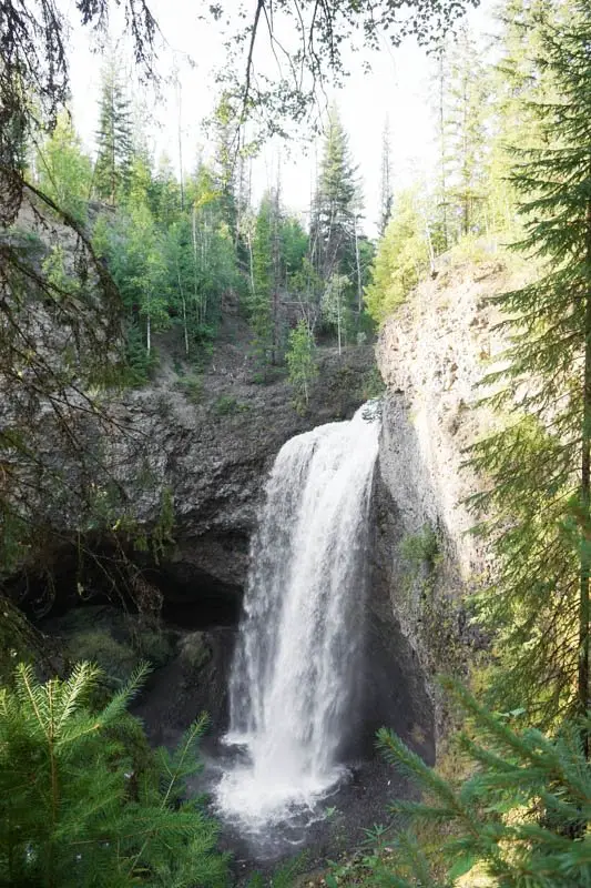
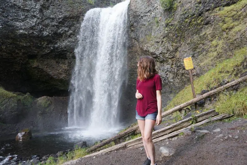


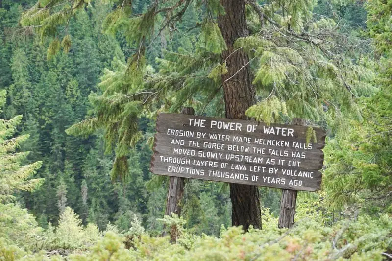
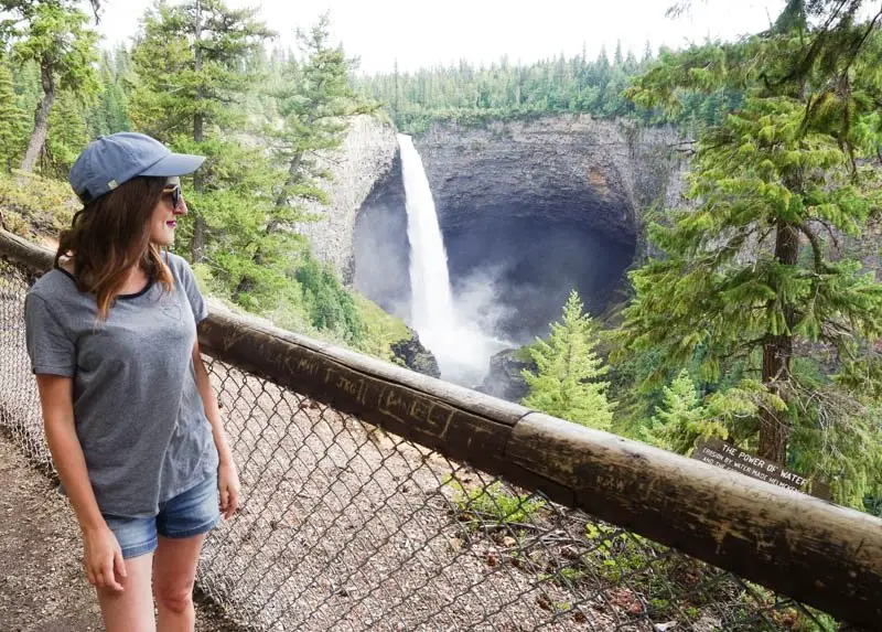
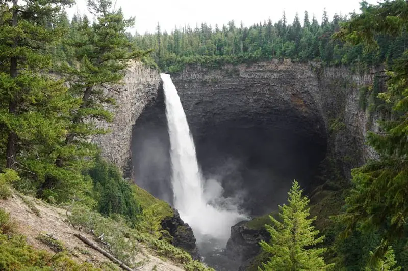
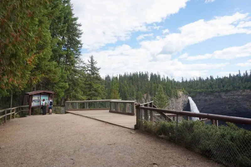
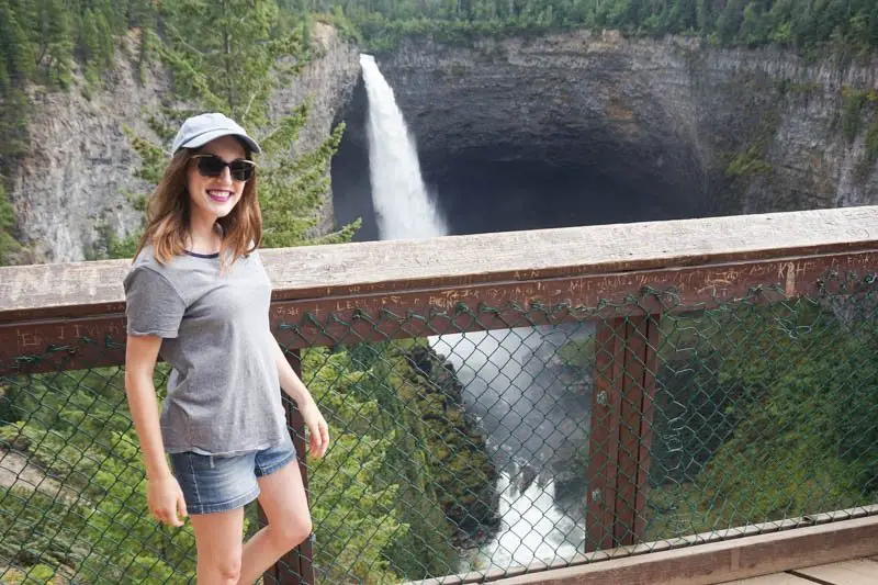
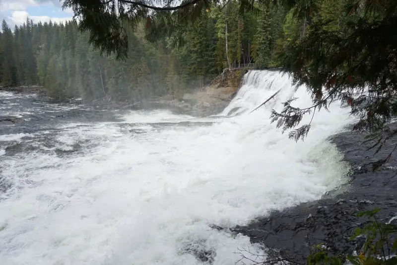
Helmcken Falls
Helmcken Falls is one of the most well-known waterfalls in Wells Gray Provincial Park, and it is one of the easiest to get to. From the parking lot, it takes less than five minutes to walk to the waterfall.
From Clearwater: 43 minutes
- Take the third exit out of the roundabout onto Clearwater Valley Road.
- Drive 42.2 kilometres up Clearwater Valley Road, then turn left on Helmcken Falls Road.
- In 4 kilometres, you will arrive at the parking lot.
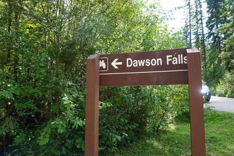
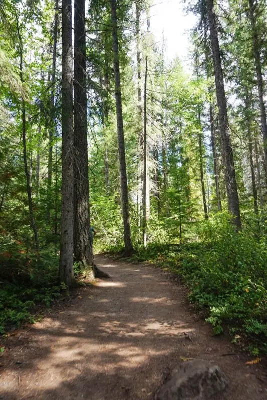
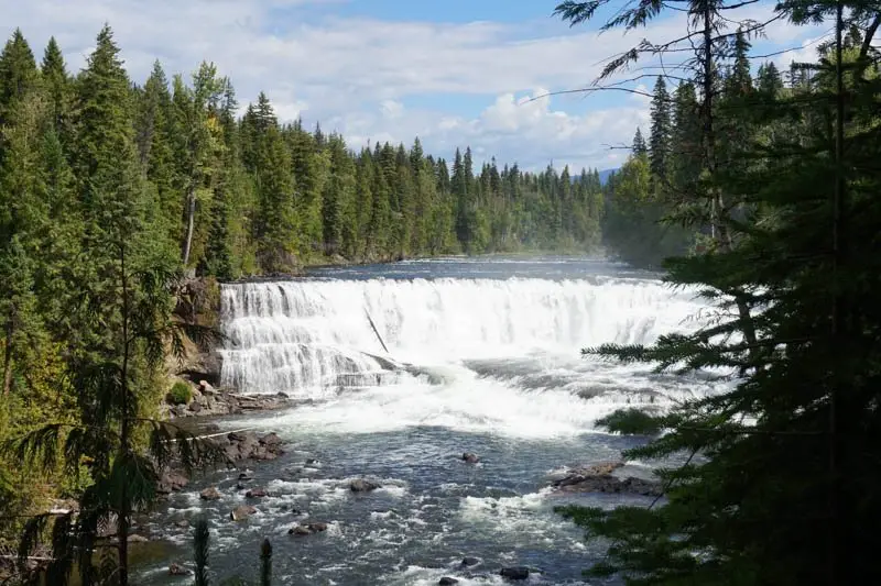
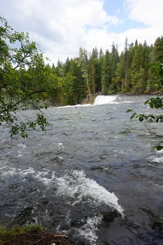
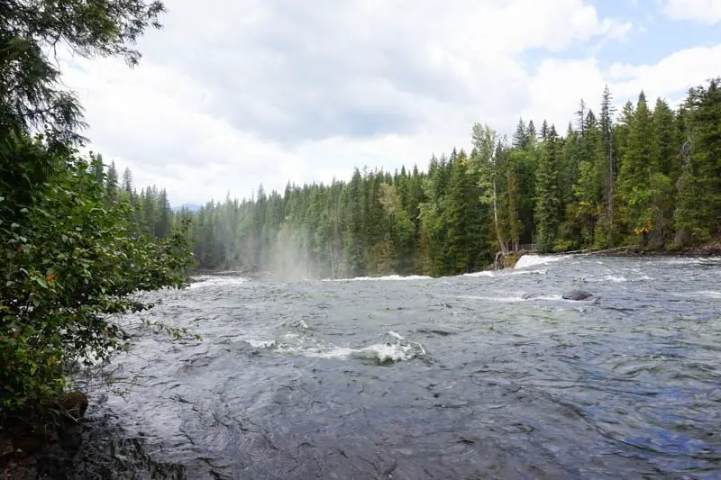
Dawson Falls
Dawson Falls is another very easy walk. It takes five minutes to walk down a flat trail to the first viewing area. If you keep walking a little ways down the trail, there are a couple other viewing areas to see the waterfall from different angles.
From Clearwater: 36 minutes
- Take the third exit out of the roundabout onto Clearwater Valley Road.
- Drive 40.6 kilometres, then turn right
The map below has all seven waterfalls featured in this post. There is no cell service or wifi in Wells Gray Park, so be sure to plan ahead by taking screenshots of or printing off the directions.
Thank you for reading this Kamloops, British Columbia waterfall guide!
Save this Post to Pinterest!
Check out these posts next:
5 Waterfalls to Discover Near Revelstoke, British Columbia
Visiting a Sunflower Festival Near Vancouver
Visiting a Tulip Festival Near Vancouver
xo,
Andrea
Follow Me!
Instagram | Pinterest | Twitter | Facebook | Bloglovin
Wow these waterfalls and hiking routes look amazing! Definitely be on my list for when I visit Canada 😀
Shannon x
http://www.shanylou.co.uk
instagram.com/shanyloublog
Thanks for reading!
These waterfalls look beautiful. I’ll save this for my trip to British Colombia next spring!
Glad it could be helpful! Have fun on your trip to B.C.!!
Awesome collection of pictures and written in great detail. Hope to visit BC soon 🙂
Thank you so much!
Those Helmcken Falls! Just wow!
So beautiful, right??
Thanks for providing such great information on getting to these falls, the map is so helpful too. They all look beautiful, I definitely need to go to them all!!
They are definitely all worth visiting! I’m glad the map could be of use to people looking for the waterfalls! 🙂
Gahhh Canada is so beautiful and still so many places left to explore! Thanks for sharing, I’ll be saving this one for later!
There are so many places here in Canada I have yet to explore too! So many places on the bucket list 🙂
Ohh I love BC and these waterfalls make me want to visit it again!
I will keep them in mind for our next trip west
You definitely need to come back to BC! There is so much to see! 🙂
This hike looks like something I would be totally up for! And how cool are all those waterfalls? I think I love the Helmcken Falls the most. Although it’s hard to pick one, haha. Great post full of useful information!
So hard to pick a favourite! Thanks for reading!
Love this post – the photos are great. I’d especially love to visit Spahats Falls. With my kids, I love short hikes with a great payoff! I also think it’s so cool how one trail has hiking poles to borrow. What a great idea.
Short hikes with great payoff are the best! 🙂
Thanks for the wonderful post. Can you share when exactly did you visit these waterfalls in kamloops and revelstoke?
Hi there, this post is from 2019, and that’s when I went to all these places.